Hope you had a fun and safe 4th of July! For some of you, especially along the shoreline, it was a big clean-up day with still no power in places! Deep blue sky, golden sunshine, and very low humidity made for one of the best Independence Days on record! For those who were not able to enjoy yesterday, there are plenty of nice weather days ahead!
Finally, after 18 weekends IN A ROW with some rain across the state, we break that streak today with a totally dry weekend in store!
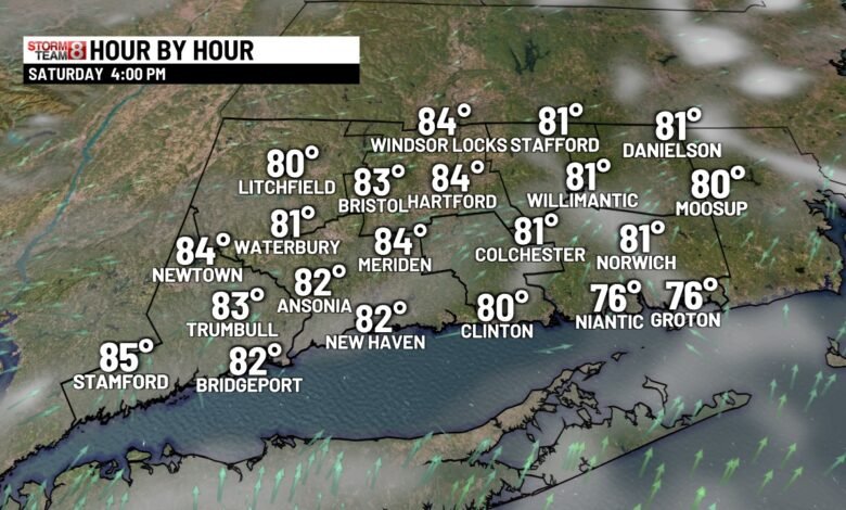
Today likely will be a top 10 summer weather day with sun and some clouds, very lights winds, LOW humidity, and temps in the 80s. Perfect for beach, boat, pool, cookouts and fireworks!.
The heat and humidity returns for Sunday and Monday, with a heat index Monday near 100 in spots… Watching the chance for some big thunderstorms on Tuesday.
Note: Tropical Storm Watch for Coastal South Carolina!
Today: Lots of sunshine, some clouds, still comfortable with seasonable highs in the mid-80s.

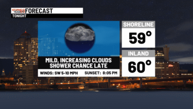
Tonight: Partly cloudy, not as cool. Humidity starts to increase. Lows in the upper 60s
Sunday: Lots of sun, very warm, more humid. Highs upper 80s to low 90s. Cooler SE Beaches


Monday: Hazy, hot,, and humid with highs in the low to mid 90s inland! Hydrate. Cooler SE Beaches.

Tuesday: Showers and locally strong thunderstorms. Humid. Highs in the low-90s
Wednesday: Wet start, then partly sunny, less humid. Highs in the low to mid-80s.
Thursday: Mostly cloudy. Chance of thundershowers. Highs in the low-80s.
Friday: Unsettled with more clouds than sun. Highs mid-upper 70s
Source link