Temperatures will warm up more through the afternoon. Gusty winds will develop later today ushering in much warmer air for Saturday. Windy with 70s in most areas for the first half of the weekend. A few spotty showers will come through Saturday night with improving weather to follow for Easter Sunday.
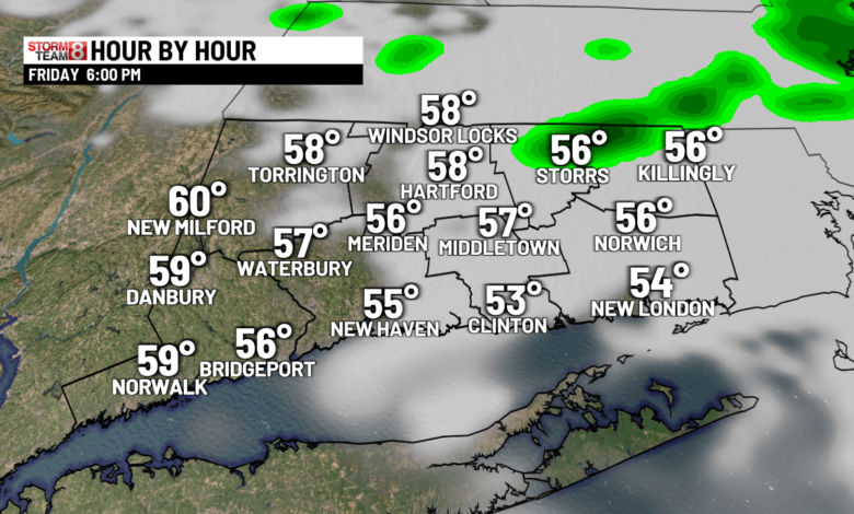
This Afternoon: High fire danger & high pollen count! Some afternoon clouds, windy and mild with highs in the 60s . Cooler mid to upper 50s at the immediate shoreline. Wind gusts 30-35 mph. A passing evening shower is possible.

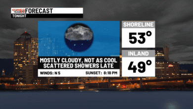
Tonight: Variable clouds with an isolated shower, breezy and mild with lows near 50.
Tomorrow: Windy with sun & clouds. Warm with highs in the 70s to lower 80s & a bit humid! Much cooler in SE CT with 60s. A passing shower or thundershower during the evening & at night.


Easter Sunday: Some clouds for parts of the state at sunrise with 48-54. Partly sunny, windy & seasonable. Highs 60-65.

Monday: Sun to clouds. Highs 60-65. Showers at night.
Tuesday: Clouds & sun with an isolated shower & breezy with highs in the upper 60s to lower 70s.
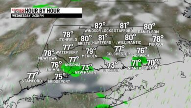
Wednesday: Bright skies with highs in the 60s to lower 70s.
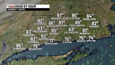
Thursday: Sun & clouds with highs in the 60s to lower 70s.
Friday: Sun to clouds with a spotty PM shower? Highs around 70.
Source link