A little more cloud cover out there today, but it will still be hot and muggy! A HEAT ADVISORY will remain in effect for most of the state with highs in the upper 80s to low 90s and heat indices in the mid 90s to near 100°. There will be a chance for an isolated shower or storm this afternoon/evening, but it’s not looking too likely. We have a better chance of seeing passing showers overnight into Thursday morning. We’ll dry out tomorrow, but unfortunately, we won’t cool down. It’ll remain quite humid through the weekend into next week.
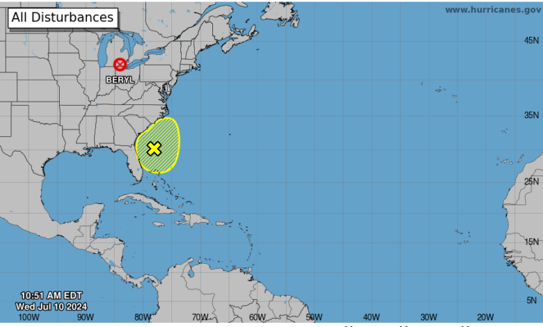
Here’s the latest tropical outlook from The National Hurricane Center:

This Afternoon: Partly sunny with an isolated shower or storm. Slim chance of a storm becoming strong with downpours and gusty winds. Highs in the upper 80s to low 90s.

Tonight: Mostly cloudy with passing showers. Lows in the mid 70s.

Thursday: A few showers early, then drying out. More breaks of sunshine with highs in the mid to upper 80s. Breezy.

Friday: Sun and clouds with afternoon/evening thundershowers. Highs in the low to mid 80s. Showers likely overnight.
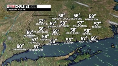
Saturday: Some morning showers, then drying out. Highs in the mid to upper 80s.
Sunday: Scattered clouds with highs near 90°.
Monday: Partly cloudy with a chance of pop up thundershower. Highs in the low 90s.
Tuesday: Sun and clouds with a spotty afternoon shower/storm. Highs in the upper 80s to low 90s.
Wednesday: Partly cloudy with a chance of afternoon thundershowers. Highs in the mid 80s to low 90s.
Source link